THE GROUNDREMEMBERSEVERYTHING.

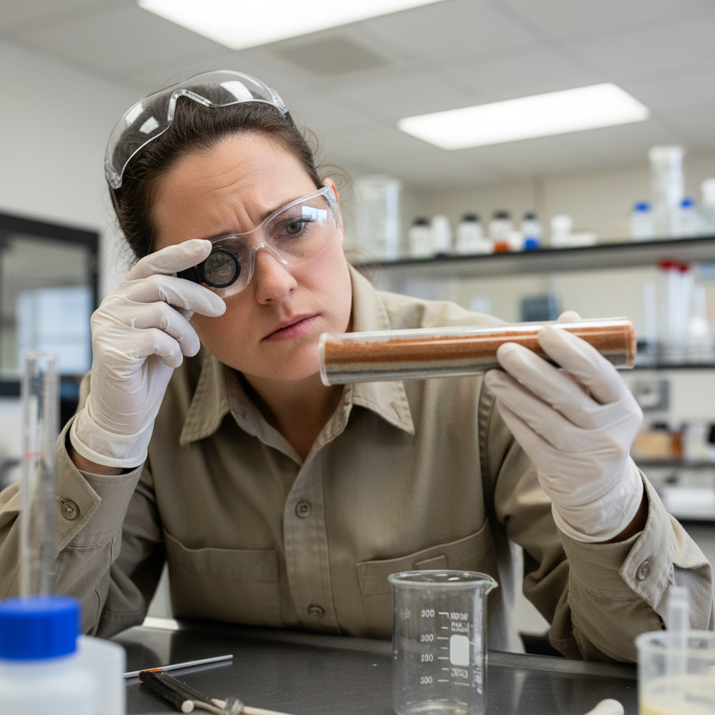
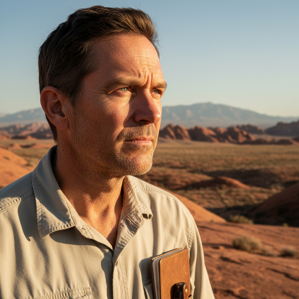
Stratum deploys field geologists into the landscapes that matter — creek beds, fault scarps, forgotten mining claims — to read what the rock has recorded. Every core sample is a chapter. Every survey is an act of preservation.

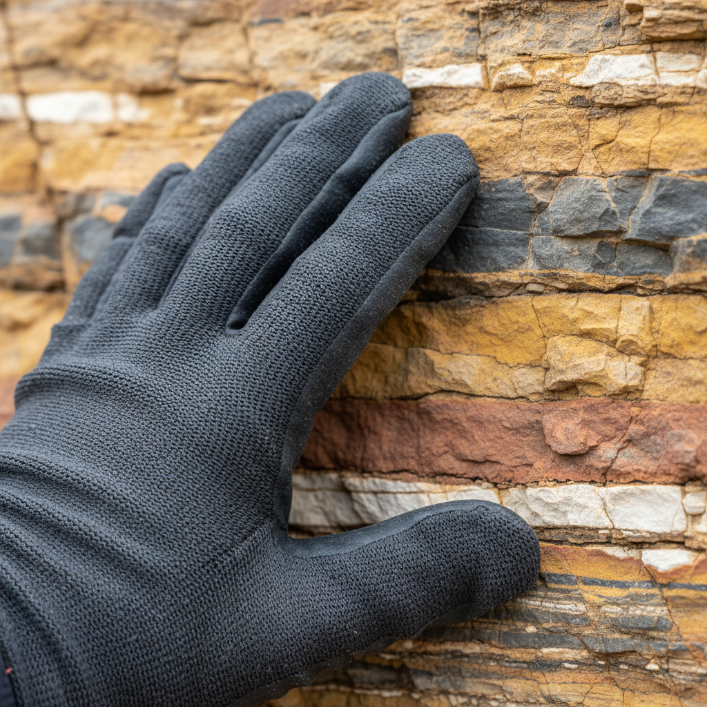
Geologist's gloved hand pressing against a cross-sectioned rock face, strata bands of ochre, charcoal, rust and cream clearly visible

Blue Ridge Formation

Appalachian Headwater Survey · Blue Ridge Pkwy, VA

Core Depth

847 m

Blue Ridge, 2025

0

Acres Surveyed

Subsurface-mapped to bedrock

0

Fault Lines Mapped

Across 11 states since 2009

0+

Water Sources Protected

Springs, aquifers & headwaters

Fund the Next Survey

Your contribution directly funds field time, equipment, and core sample analysis.

Data-first narratives from the field
14

Previously Unknown Springs

Discovered · Appalachian Headwater Survey 2024

Hydrology· Blue Ridge Pkwy, VA · 2024

What the creek beds were hiding.

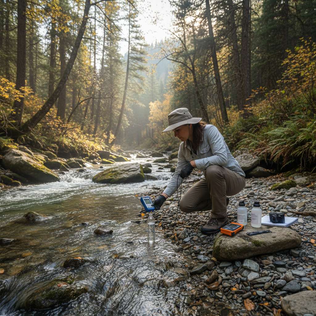
In the summer of 2024, our team spent eleven weeks in the hollows of the Blue Ridge — wading headwaters, pressing magnetometers into creek beds, reading the fine print of alluvial fans. The question was simple: where does the water come from? The answer was not.

Fourteen springs emerged from the survey record that no municipal map had ever noted. Two of them feed a watershed serving 23,000 households downstream. Three more flow through land designated for commercial extraction. This data is now in the hands of the Virginia Department of Conservation and Recreation.

"The springs were there the whole time. The rock remembered."

— Dr. Margaret Solano, Lead Hydrogeologist
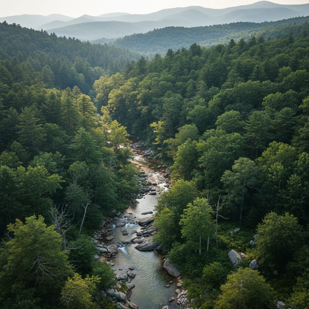
Aerial view of forested Appalachian watershed with creek visible through tree canopy
Geologist taking water sample measurements at rocky creek bed in mountain forest
2.3M

Years of Volcanic Record

Cataloged · Cascades Stratigraphy Project 2023–2025

Volcanology· Cascade Range, WA/OR · 2023–2025

Reading two million years in an afternoon.

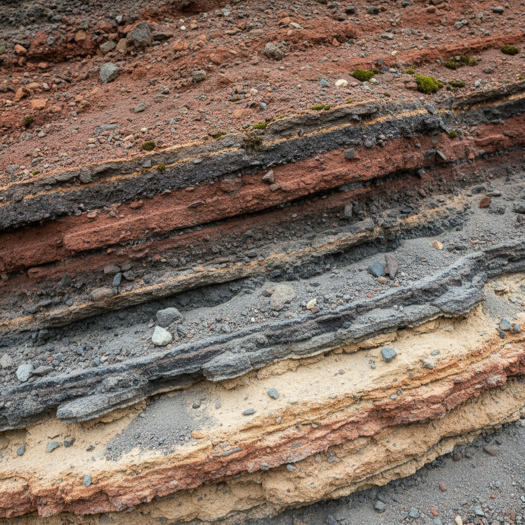
The Cascades don't just hold volcanoes. They hold a chronology. Each tephra layer is a timestamp, each lithic flow a chapter in a story that began long before the first human footprint in the Pacific Northwest.

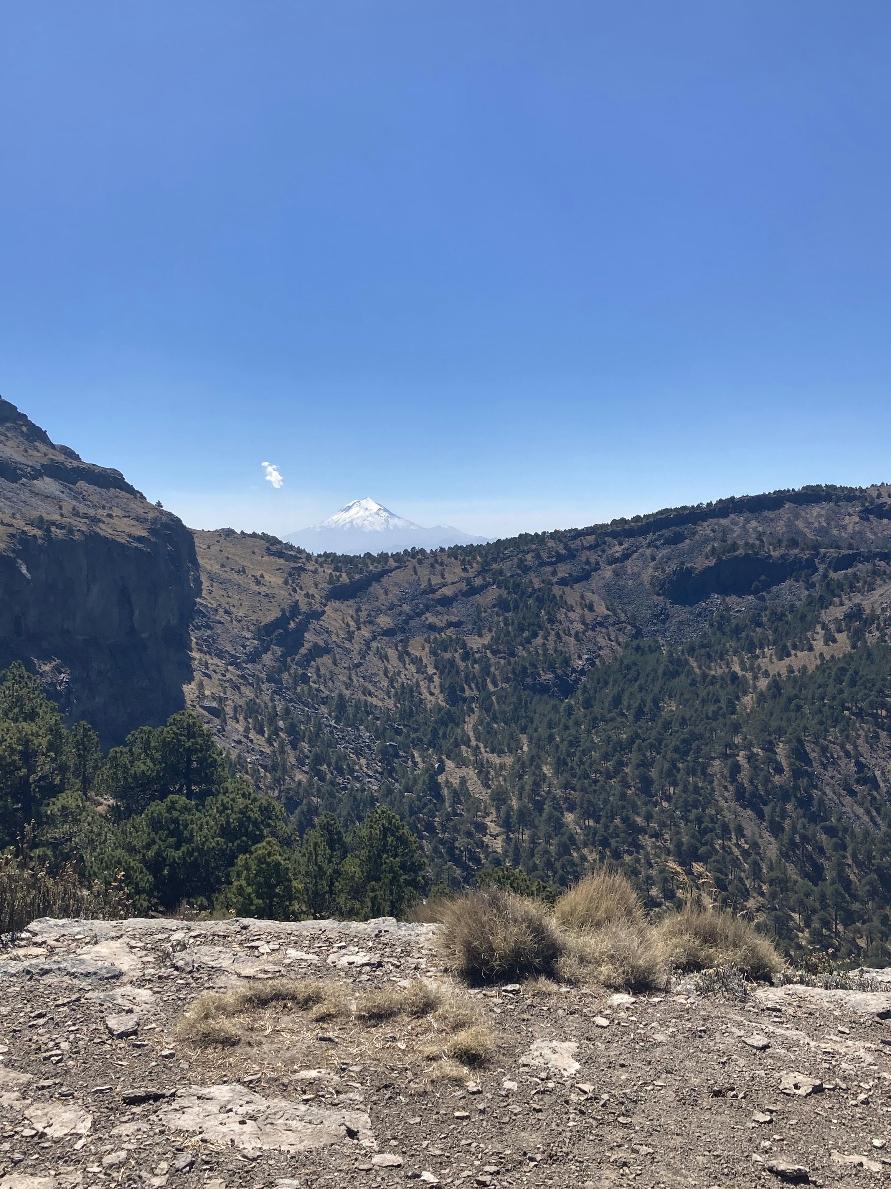
Our Cascades project, now in its third year, has cataloged stratigraphic columns at 47 sites from the Oregon border to the Canadian line. The record reveals three previously undocumented eruptive sequences and confirms subsurface connectivity between the Mount Adams and Mount St. Helens magma systems — information with direct implications for regional seismic hazard modeling.

"Two million years of pressure, heat, and silence. We read it in a single column."

— James Okafor, Senior Volcanologist
Cascades volcanic mountain range with snow-capped peaks rising above forest
Close-up of layered volcanic rock strata showing distinct colored bands of tephra deposits
3 surveys in progress · Feb 2026
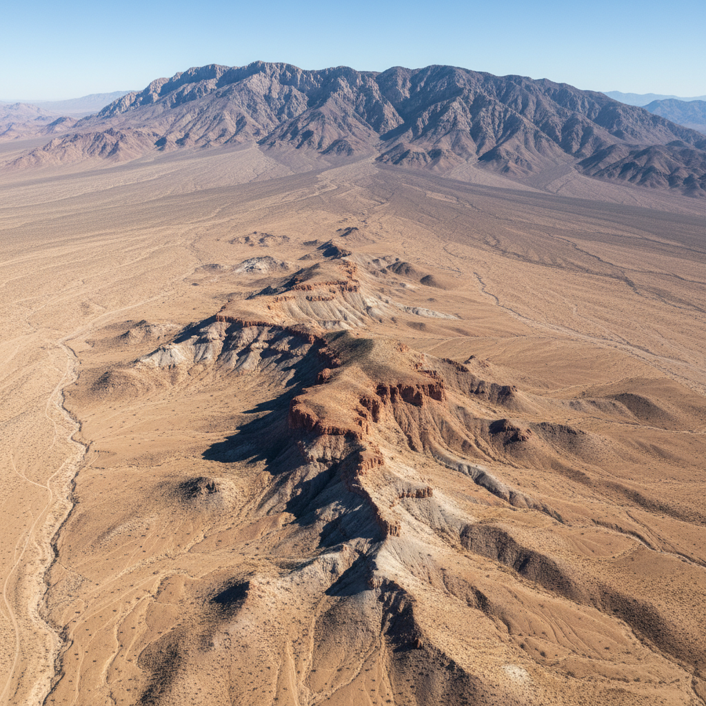
Aerial view of Nevada desert basin with exposed fault scarp and arid mountain range in background
Active
Structural Geology

Great Basin Fault Atlas

Nevada / Utah

12 fault segments

newly characterized

Mapping the hidden extensional faults beneath the Basin and Range — each one a potential conduit for groundwater, each one a seismic variable.

Funded68%
Nevada Bureau of MinesUSGSGreat Basin Water Network
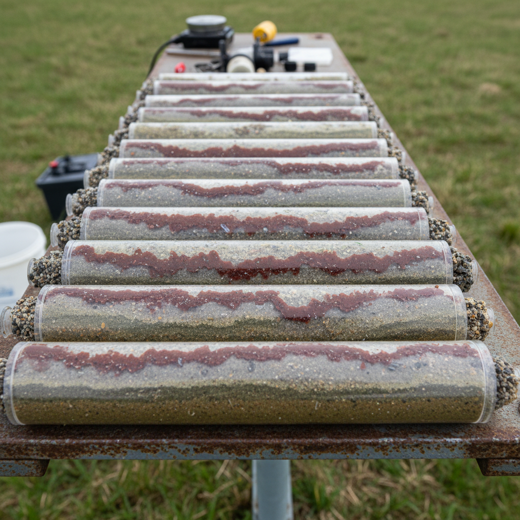
River sediment core samples laid out on field table showing layered contamination bands
Field Phase
Environmental Geology

Duwamish Sediment Plume

King County, WA

4.7 km²

contamination plume traced

Tracing legacy industrial contamination through the alluvial fan of the Duwamish River — core samples every 50 meters, groundwater chemistry at each station.

Funded91%
King County Dept. of Natural ResourcesEPA Region 10
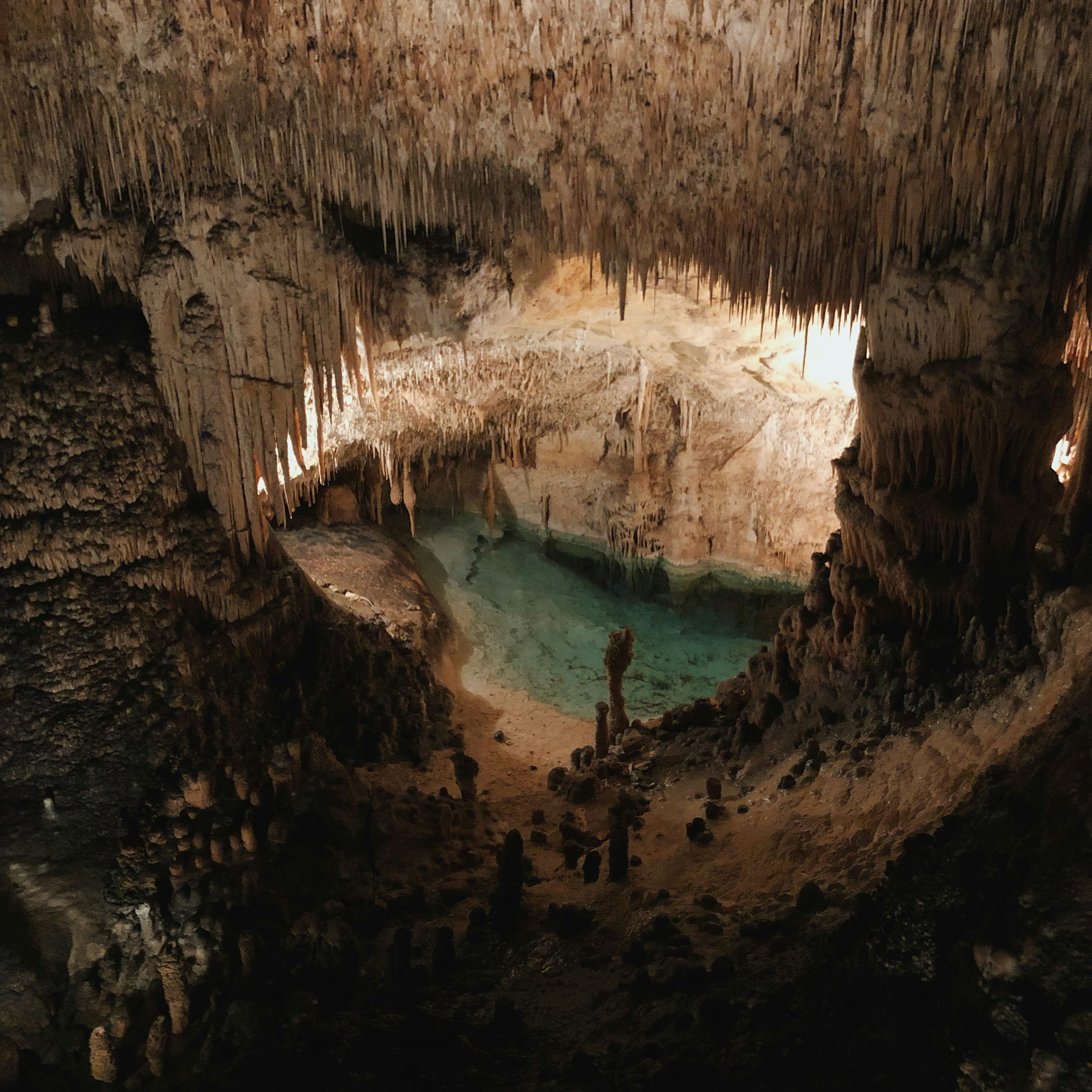
Underground karst cave passage with stalactites and clear spring water pool
Analysis Phase
Hydrogeology

Ozark Karst Mapping

Missouri / Arkansas

340+ cave passages

subsurface-connected to surface springs

The Ozark aquifer system is one of the most complex karst networks in North America. We are the first team to map its subsurface topology at 1:5000 scale.

Funded54%
Missouri Geological SurveyOzark Regional Land Trust
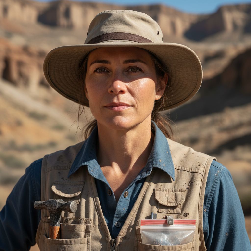
Portrait of Dr. Margaret Solano, hydrogeologist, in field gear with rocky terrain background

Dr. Margaret Solano

Lead Hydrogeologist

Formerly USGS Water Science Center

Karst aquifer systems, spring discharge modeling

Appalachian HeadwaterOzark Karst

"The springs were there the whole time."

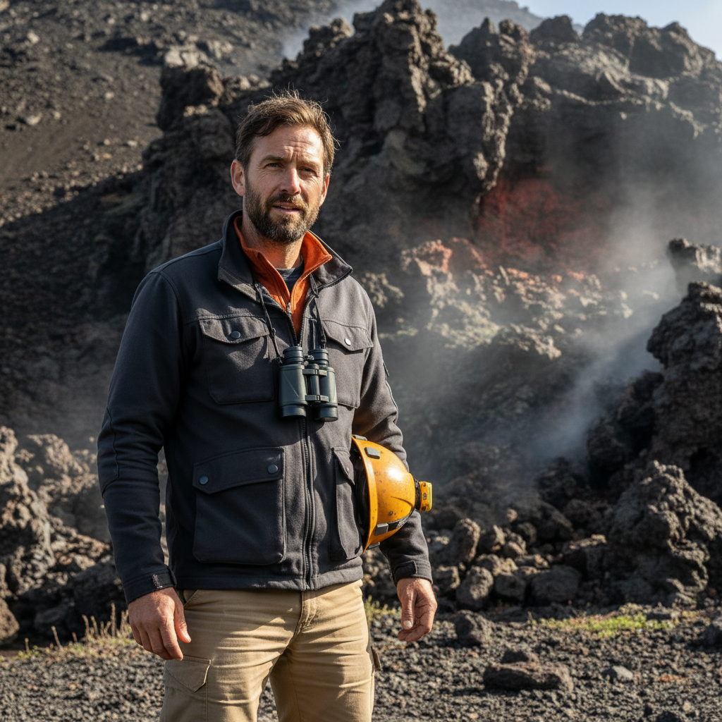
Portrait of James Okafor, volcanologist, standing in front of volcanic rock outcrop

James Okafor

Senior Volcanologist

Pacific Northwest Seismic Network

Tephra stratigraphy, magma system connectivity

Cascades Stratigraphy

"Every eruption leaves a library."

Portrait of Dr. Priya Venkataraman, environmental geologist, examining sediment core sample

Dr. Priya Venkataraman

Environmental Geologist

University of Washington, Dept. Earth Sciences

Contamination plume tracing, alluvial sedimentology

Duwamish Sediment Plume

"The river remembers every industry that touched it."

Portrait of Elias Bergström, structural geologist, outdoors with desert landscape

Elias Bergström

Structural Geologist

Nevada Bureau of Mines and Geology

Basin and Range tectonics, fault characterization

Great Basin Fault Atlas

"Faults don't lie. They just take time to read."

USGS
EPA Region 10
The Nature Conservancy
Nevada Bureau of Mines
King County DNR
Ozark Regional Land Trust
Pacific Northwest Seismic Network
Missouri Geological Survey
USGS
EPA Region 10
The Nature Conservancy
Nevada Bureau of Mines
King County DNR
Ozark Regional Land Trust
Pacific Northwest Seismic Network
Missouri Geological Survey